Rockford Scanner
Police Scanner, News, Editorials, Events, Paranormal,
Sports, Weather, Letters to the Editor, Reviews,
Advertisements, Jokes, Satire, Parody,
Whatever we feel like posting about…
We strongly recommend you doing your own research,
And forming your own opinions.
If you have any information, photos, videos,
Please email us at: RockfordScanner@gmail.com
Our opinion on what allegedly may have happened,
Based on the current information that has been provided to us.
We continue to monitor a strong storm system which will move into the region later Thursday night and Friday. While the potential for winter weather impacts is increasing, particularly across northern Illinois, uncertainties in storm track continue. A farther north track would bring mainly rain to the region along with an increased threat for thunderstorms and heavy rainfall/flooding, while a farther south track would shift the axis of impactful snow more into Indiana. Temperatures will only be in the 30s, leading to a wetter/heavier type snow where it is cold enough to accumulate, with ratios likely less than 9:1.
.LONG TERM...
Issued at 228 PM CST Tue Feb 28 2023

Thursday through Tuesday...

Primary forecast concern and challenge is a potential winter storm
to impact the area on Friday.

Low pressure is expected to develop over the southern Plains
Thursday and rapidly deepen as it moves across MO Thursday night
and into central IL Friday morning. Even with the similar tracks
of the low from the 12z GFS/NAM/ECMWF, there is still large
differences in the expected precipitation types/locations.

Thermally, there isn't much cold air aloft initially. While some
cooler air advects into the area, the colder temps aloft that
arrive later Friday are probably in part, driven by the expected
moderate/heavy precip intensity cooling the column enough to turn
the precipitation to snow and this could be in a fairly narrow
axis. An axis that will be highly dependent on the track of the
surface low. The lack of colder air also makes for a difficult air
temperature forecast. Temps may remain in the lower/mid 30s
Thursday night into Friday morning and then may remain steady on
Friday for much of the area. This also makes for a difficult
precip type forecast. Freezing rain is certainly possible if temps
were to be cooler and stay in the lower 30s but confidence is too
low to have any freezing rain in the forecast from this distance.
Precip intensity and cooling aloft could allow for some sleet, as
shown by the ECMWF in particular, but confidence for duration and
timing is too low to have sleet mention either. So have
maintained rain/snow as precip types and for the most part, most
of the area is in a rain/snow mix for much of the event. There
does appear to be some consensus that as the precip begins later
Thursday night into early Friday morning, it will start as rain
south of I-80 with perhaps a mix into the southern metro by
daybreak Friday morning. Much of Thursday evening is looking dry
for the cwa.

While this time period, through 00z Saturday, is now in the 72
hours of QPF and snowfall amounts, the snowfall forecast is highly
uncertain. Currently, the highest snowfall amounts are generally
along and north of I-88. While this matches the current possible
track, the axis of heaviest snow could shift further south. Given
the temperatures, the snow may end up being fairly wet, with low
snow/water ratios, possibly keeping snow amounts lower.

There is also the potential for heavy rain, wherever rain occurs,
currently expected across the southern half or third of the cwa.
Rainfall amounts may approach an inch. Given the current wet
ground and higher river levels, this amount of rain will likely
cause additional minor flooding and if rainfall amounts are higher
and/or more convective, leading to short duration of moderate/
heavy rain, then flooding concerns will need to be monitored.
There is a chance of thunderstorms, mainly in the far south and
convection into the cwa, will also be dependent on the track of
the low.

Finally, the winds, blended winds were solidly into wind advisory
levels, for Friday. Lowered these winds some in coordination with
our neighboring offices but given the strength of the surface low,
wind gusts into the 40-45 mph range certainly look possible but
confidence from this distance is low. The winds will shift
northerly Friday evening as the low departs and then slowly
diminish into Saturday morning.

Another system may move across the area later Sunday night and
Monday bringing a chance of mainly rain showers to the area with
temperatures near or above normal for the weekend and early next
week. cms

As much as we hate asking for donations.
Sadly, it does cost money to run RS.
Dedicated server, Domain, Maintenance, Time, etc…
Every penny helps!
Donate via debit or credit card:
CLICK HERE
Thank you in advance for your donation!
Officials have not yet released any information:
- To confirm anything (Nothing is confirmed),
- On the incident (What happened?),
- Possible alleged suspects, (Who may be involved?)
- If there is a possible threat to the community (Community in danger?),
- Who to possibly be on the lookout for, (Who to be on the lookout for?)
- If they do, we will update this.
If no updates, officials have not released any information that we are aware of.
Rockford Scanner
See it, Snap it, Send it
- SEE IT: See a scene or something of interest
- SNAP IT: Pull our your camera and film
- SEND IT: RockfordScanner@Gmail.com
Examples of
Rockford Scanner Fan Submissions


CLICK HERE TO DONATE
Thank you in advance for your donation!

Visit our sponsors:
CLICK HERE
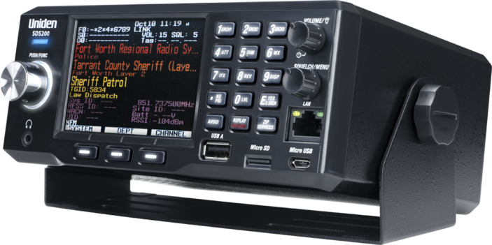
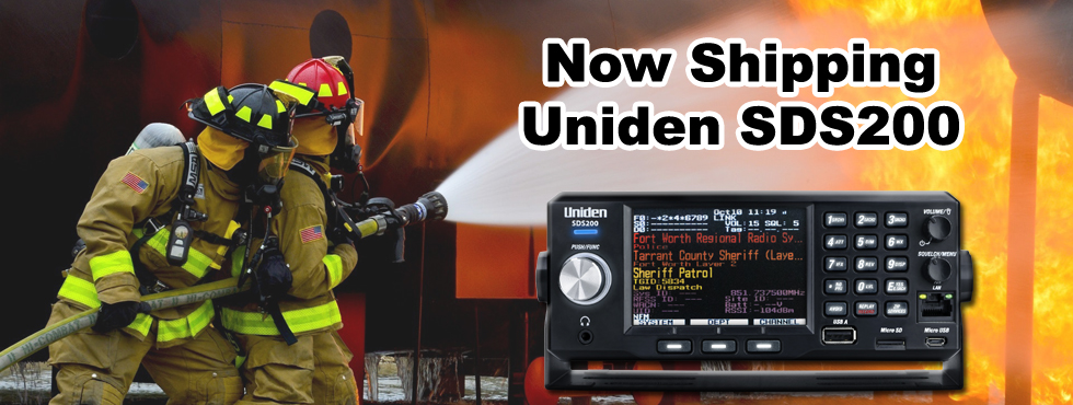
Get one of the best
Police scanner on the market!

 Our personal opinions on various topics.
Rockford Scanner
PARANORMAL FILES!

Disclaimer:

- Our content is for entertainment purposes only.
- Informative entertainment.
- All the information posted is our own personal opinions.
- Our opinions on what allegedly may have possibly have happened.
Based on the information that was currently provided to us, at the time of posting it. - We strongly recommend you doing your own research, and forming your own opinion.
- We are protected by the 1st amendment.
- Everyone is innocent, until proven guilty in a court of law.
- We can not guarantee the accuracy of our content.
Information is very dynamic and may change. - You must read and agree to our terms.
If you do not agree with our terms, please leave now. - If you know of any corrections, please contact us right away.
RockfordScanner@gmail.com

Our information is for entertainment purposes only. Because of this, We can not guarantee the accuracy of our information. If you know of any errors, please contact us at RockfordScanner@gmail.com and please provide us with the proof of the correction. We strive for accuracy. But, the information is always dynamic and changes often with our type of content. Because of this, We do apologize ahead of time if there are any errors. So, Please let us know of any updates or errors! We are protected under the first amendment.
Disclaimer and Terms: CLICK HERE


